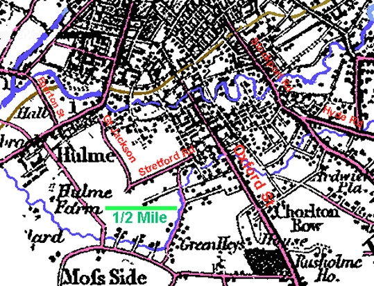
In the years between 1795 and 1831, both Manchester and Hulme expanded greatly. This growth is apparent on the 1829 map by Hennet. The Hennet map was of the whole of Lancashire, but Hulme appears in sufficient detail to appreciate the changes that were occurring.
By 1831 the Manchester population had become 187,022 and that of Hulme 9,624 (with 1,843 houses). The stimulus of the canals, expanding the reach of Manchester for the import and export of cotton and textiles, caused great numbers of people to flock to the area for work.
